|
||
|
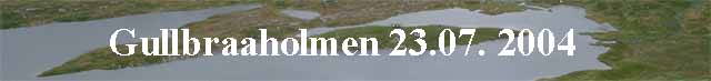
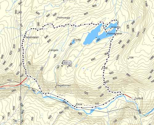
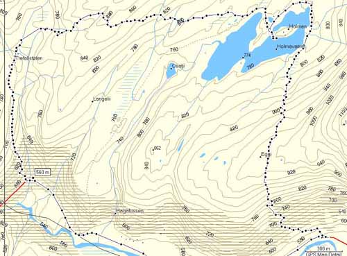
To Gullbraaholmen, and from there over Holmsegga to Trefallstoelen.
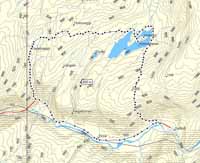
Click at the picture / title above to see pictures from the hike. Click on the map at right to see a bigger version, plus data and a bigger version of the hight profile. |
|
|
| More description are coming soon. So far only in Norwegian. |
|
|
From Gullbraa to Holmen:
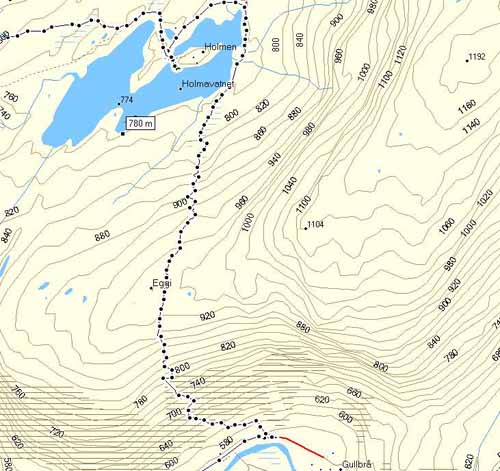
The hike:
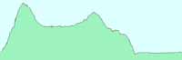
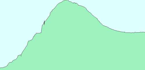
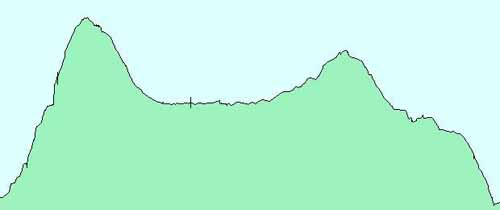
Hight profile for the hike. Starting at 574 meters above sea level. Higest point at 948 meters,
down to Holmen at 770.
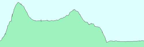
Over Holmsegga at 880 meters to Trefallstolen at 733. Down Fribakkane to the main road at 560 meters.
Most of the hike in a bigger version.
Hight profile from the start at Gullbraa to back in the valley in Fribakkane:
|
||
|
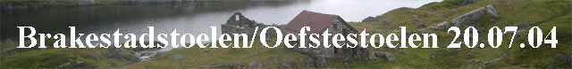
To Brakestadstoelen, so to Oevstestoelen.
Then passing Blaavatnet and into the Trodladalen.
Return the same path.
Click at the picture / title above to see pictures from the hike. Click on the map at right to see a bigger version and hight profile. |
|
|
| More description are coming soon. So far only in Norwegian. |
|
|
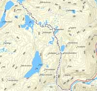
To Brakestadstoelen, than Oevstestoelen.
So passinf the upper Blaavatnet and into Trodladalen.
Hight profile for the hike. Starting at 490 meters above sea level.
Brakestadstoelen at 674 meters. Oevstestoelen at 785. 917 meters at Trodlavatnet.

|
||
|
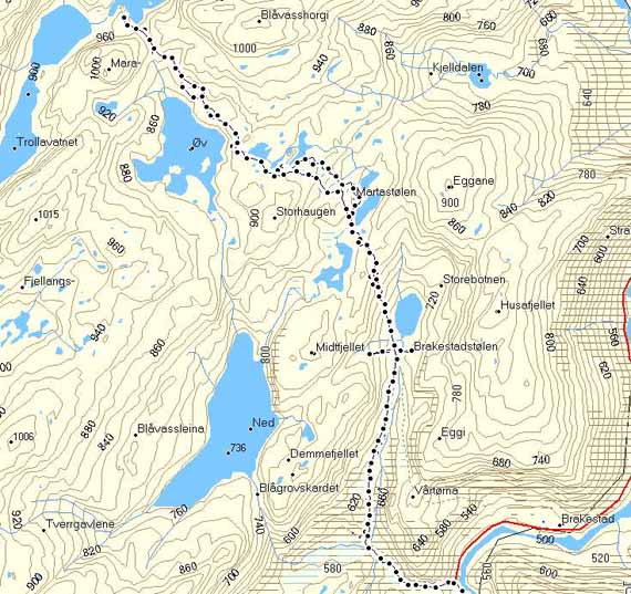
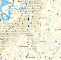
To Nesheimstølen. The same path back again.
Click at the picture / title above to see pictures from the hike. Click on the map at right to see a bigger version and hight profile data. |
|
|
| More description are coming soon. So far only in Norwegian. |
|
|
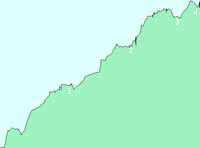
To Nesheimstoelen.
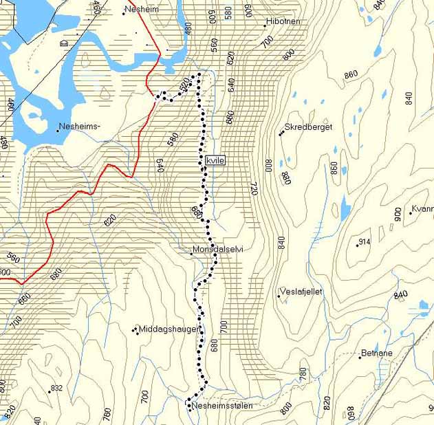
Hight profile for the hike. Starting at 455 meters above sea level.
Highest point at 678 meters, Nesheimstølen 665 meters.

|
||
|
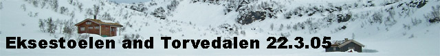
From Ekse to Eksestoelen, than to Torvedalen.
Click at the picture / title above to see pictures from the hike. Click on the map at right to see a bigger version and hight profile data. |
|
|
| More description are coming soon. So far only in Norwegian. |
|
|
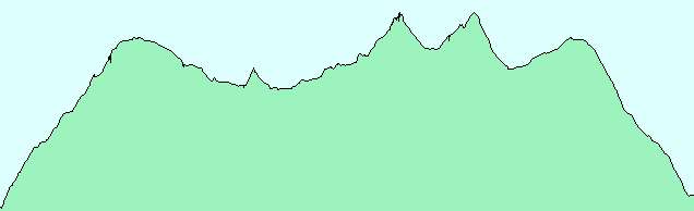
From Ekse to Eksestoelen, and than to Torvedalen, in the winter.
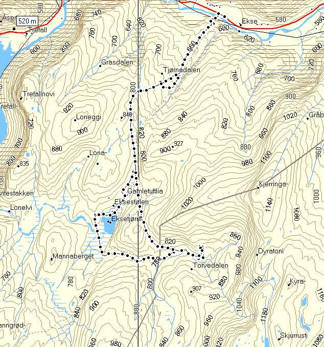
Hight profile for the hike.
|
|
||
|
From Indretjoedna to Bergostoelen, then down Skreiingsbrekko to Bergovatnet,
up again Brattefonnskaret to Bergostoelen and Indretjødna.
Click at the picture / title above to see pictures from the hike. Click on the map at right to see a bigger version and hight profile data. |
|
|
| More description are coming soon. So far only in Norwegian. |
|
|
From Indretjoedna to Bergostoelen and down Skreiingsbrekko to Bergovatnet, up again Brattefonnskaret.

Hight profile for the hike.
|
|
||
|
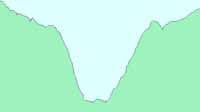
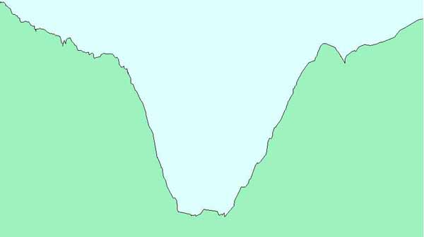
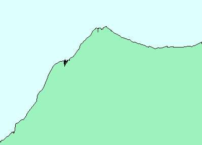
To Bindingboestoelen, than to Yksendalstølen. The same way back.
Click at the picture / title above to see pictures from the hike. Click on the map at right to see a bigger version and hight profile data. |

|
|
| More description are coming soon. So far only in Norwegian. |

|
|
To Bindingboestoelen, than to Yksendalstoelen, the same way back.
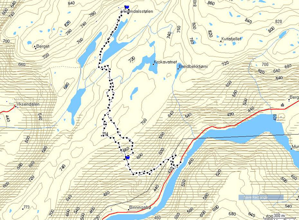
Hight profile for the hike.
Copyright © kaare@trefall.com 2004-2023
(pgp)
Last updated 17th of April 2023