|
||
|
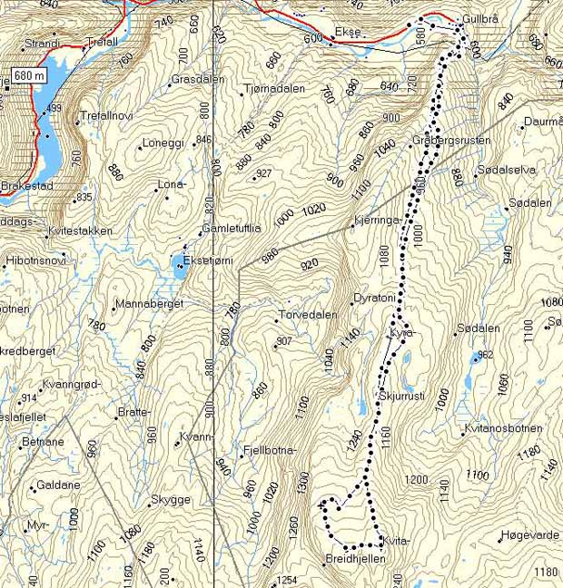
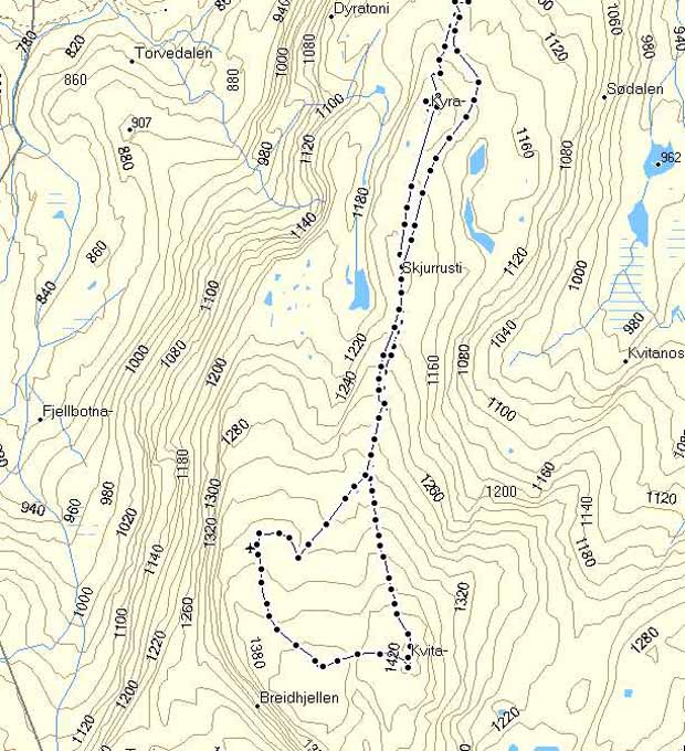
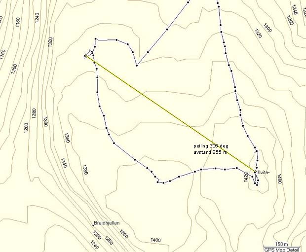
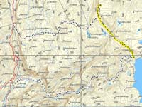
From Gullbraa to Kvitanosi.
Click at the picture / title above to see pictures from the hike. Click on the map at right to see a bigger version and hight profile data. |
|
|
| More description are coming soon. So fare only in Norwegian. |
|
|
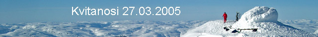
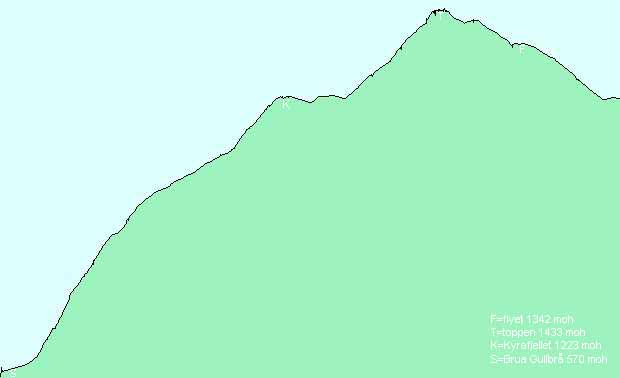
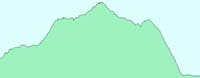
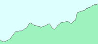
To Kvitanosi from Gullbraa in the winter.
Hight profile for the hike from the bridge at Gullbraa, to the top at 1433 meters, to "the plane", and down again to the same route as up.
|
|
||
|
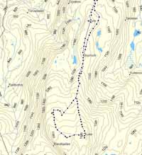
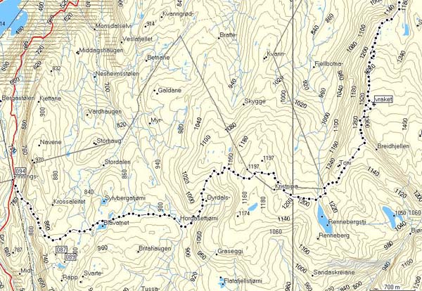
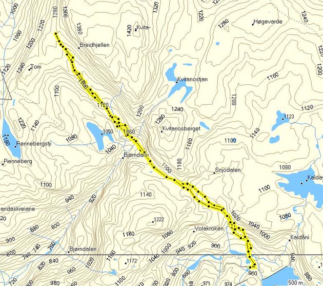
Vinningsleite, Kristnipa, Kvitenosi, Gullbraa 13.08.2005.
Click at the picture / title above to see pictures from the hike. Click on the map at right to see a bigger version and hight profile data. |

|
|
| More description are coming soon. So fare only in Norwegian. |
|
|
Vinningsleite, Kristnipa, Kvitenosi, Gullbraa.
Hight profile for the hike

|
||
|
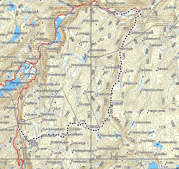
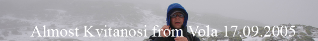
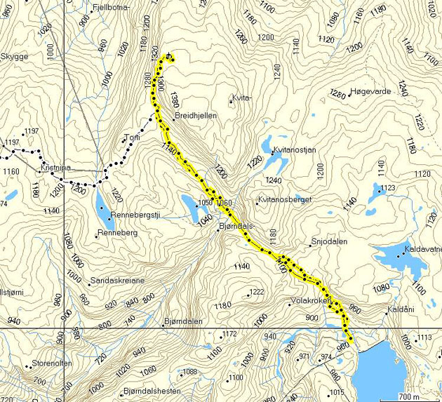
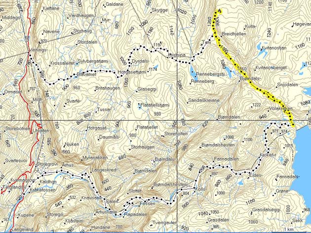
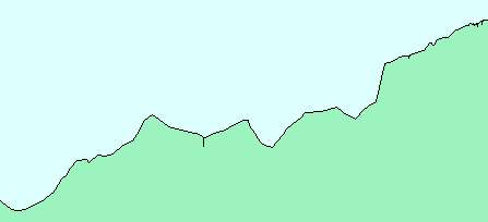
Volakroken to Kvitanosi 17.09.2005.
Click at the picture / title above to see pictures from the hike. Click on the map at right to see a bigger version and hight profile data. |
|
|
| More description are coming soon. So fare only in Norwegian. |
|
|
Trying to reach Kvitanosi from Vola.
The hike as it whent:
The intention, stopped by a blizzard:
A map also showingg a hike from Nesheimsfjwllet, and the road from Brekkhus/AArhus to Vola:
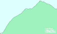
Hight profile for the hike from Vola to the vreck.
|
||
|
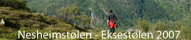
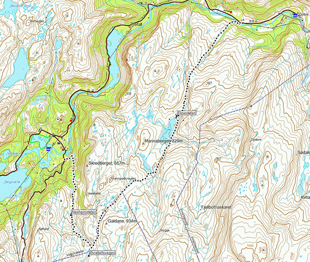
Click at the picture / title above to see pictures from the hike.
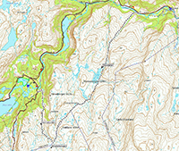
Click on the map to the right to se the route.
More description are coming soon. So fare only in Norwegian. |
|
|
The hike is shown on the map.
Copyright © kaare@trefall.com 2004-2023
(pgp)
Last updated 17th of April 2023